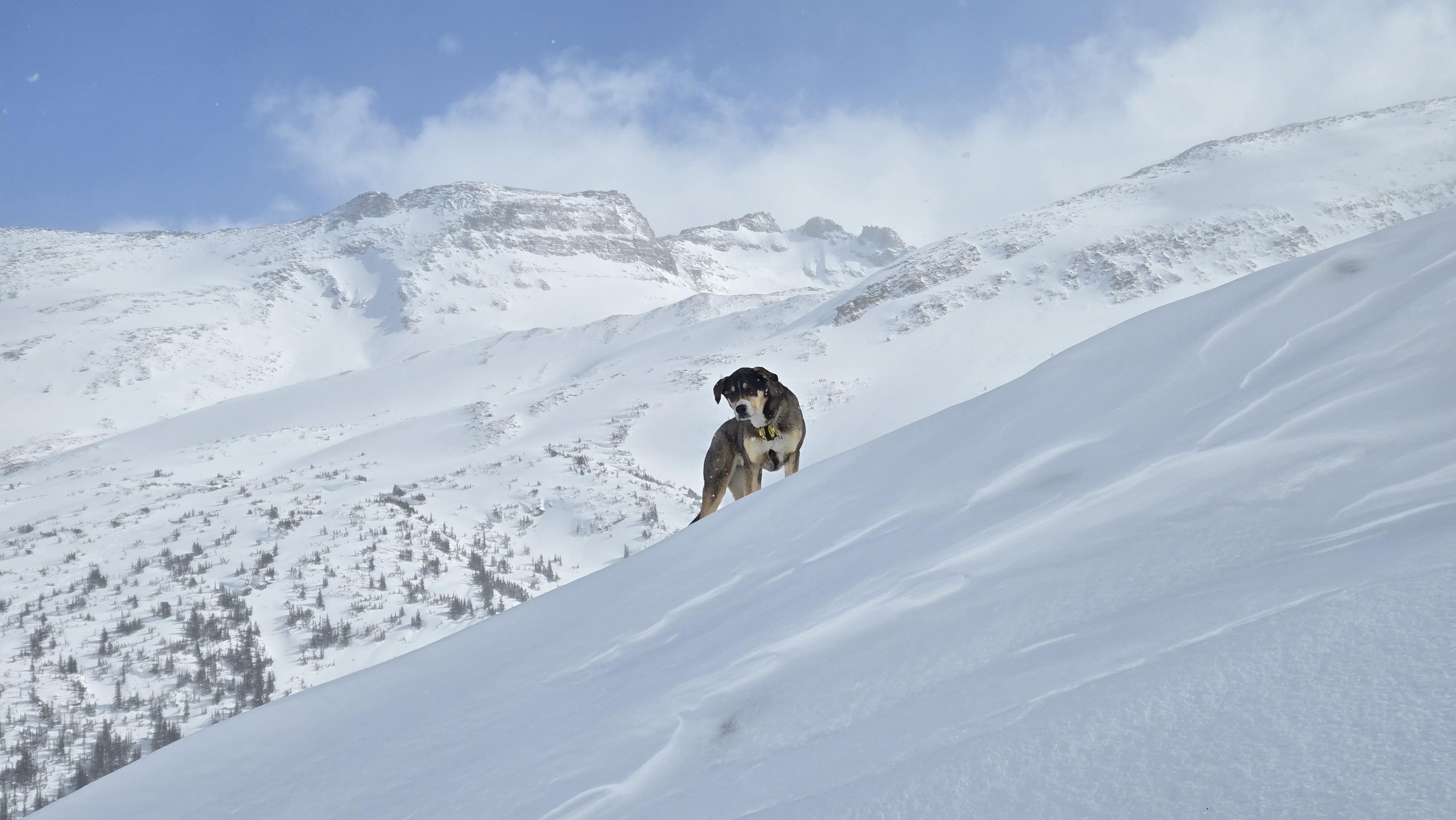
Just returned from 3 weeks up the Dore River Valley:
Mar. 16-20th: Ozalenka
Mar. 23-27th & 30-Apr. 2nd: Eagle
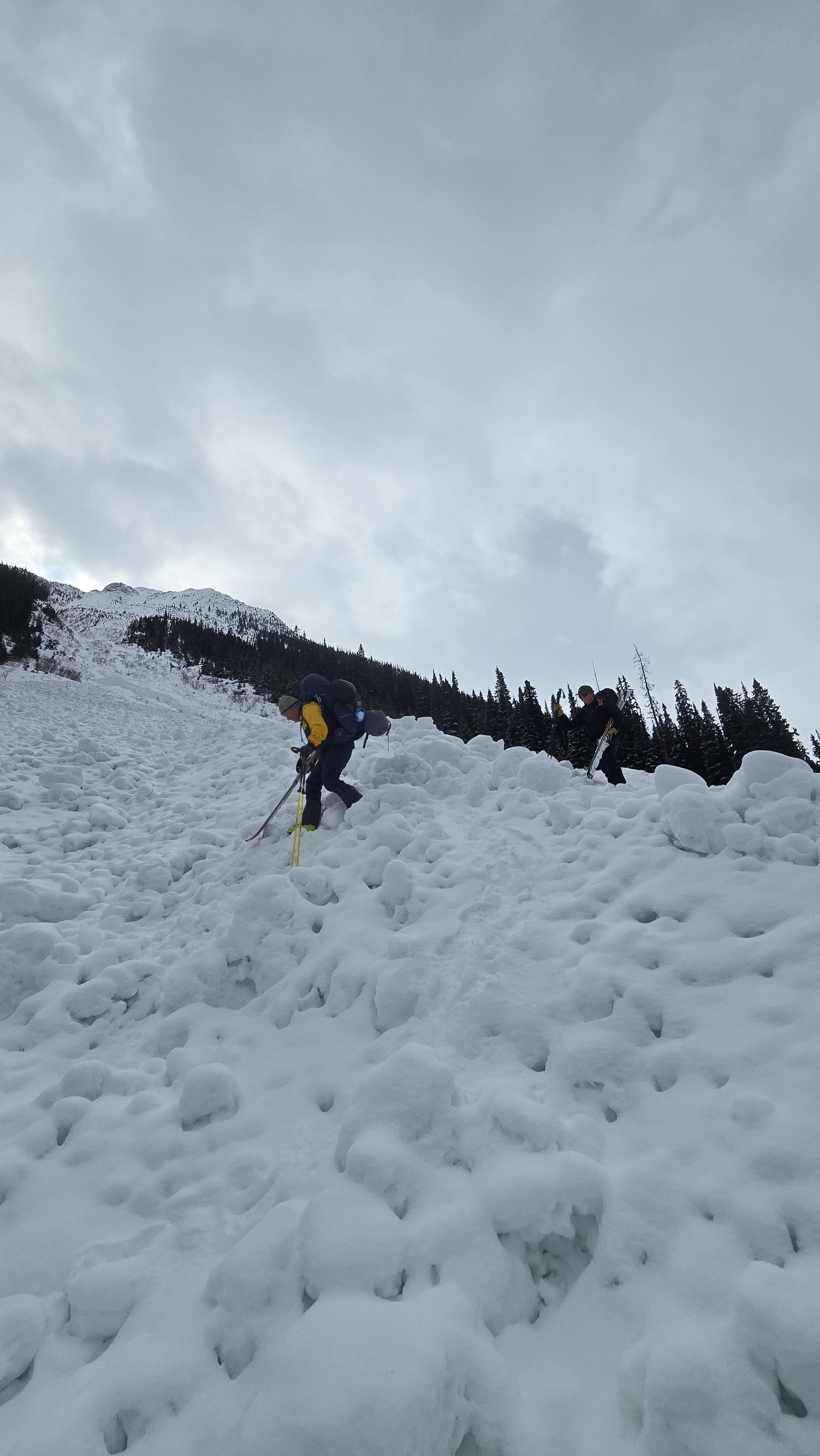
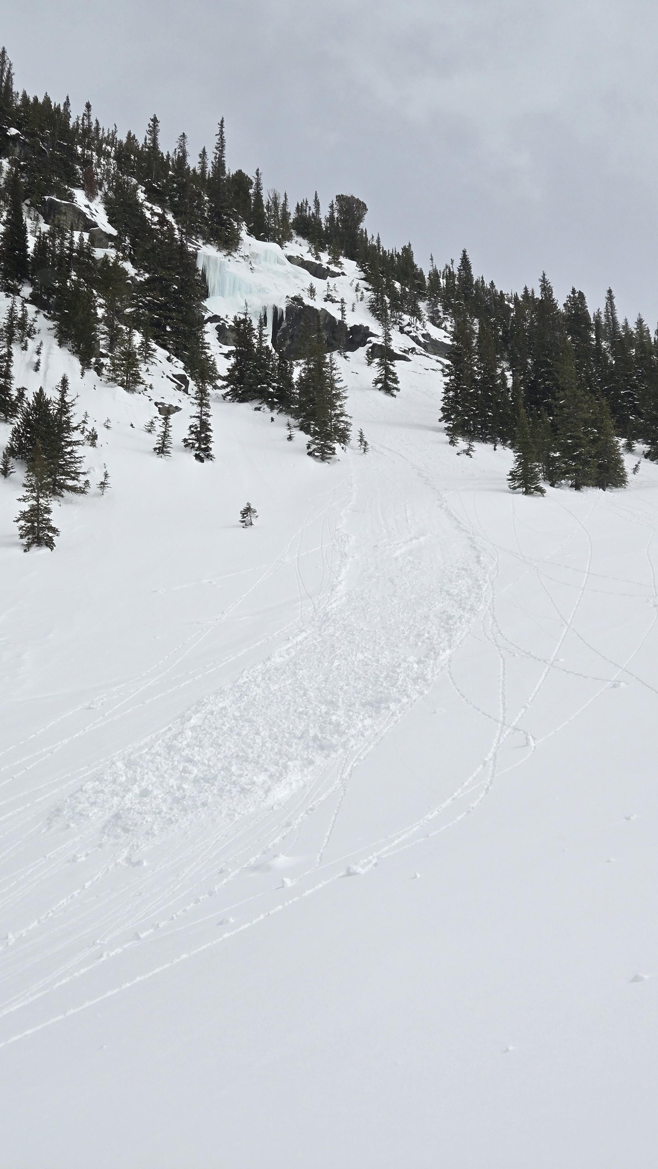
While at Ozalenka, an atmospheric river event came through, delivering significant amounts of precipitation throughout the week. This came in the form of rain up to 2,000m and temperatures up to 5C at 1750m. On Monday morning, 30cm of snow fell, which then turned to rain in the AFT, causing a widespread avalanche cycle up to sz 4 in the Dore River Valley (and terrible uphill travel to the cabin!). Most of the sz 3-4 avalanches observed ran in the S. Dore River valley (Middle Dore unobserved) with the Ozalenka Valley only reaching avalanches to sz 2.5. Snow quality was poor Mon/Tues, but began to improve by Thursday as temperatures slowly came down. By Friday afternoon, temperatures plummeted and that evening, reached -10C, creating a temperature crust found on all aspects up to 2,200m with just 5cms of snow on top. The exit trail on Friday afternoon showed major deterioration from the unseasonably warm temperatures all week. Many of the snow bridges we had crossed on Monday were no longer safe to cross making travel slow and arduous.
On Mar. 23rd, we headed up to Eagle Valley. With a supportive crust to the cabin, travel was excellent. Ski crampons were needed at the canyon. On Tues/Wed, we received a total of 40cms of snow, causing our hazard rating to elevate to 3, 3, 2. The crust created a sliding layer for LD avalanches that were easily triggerable on skis, especially at TL where snow levels were highest and crust was still present. In the high ALP (top of Mt. Christopher), we had one Sa sz 1.5, windslab, with no involvement. Ski conditions were excellent with little wind. Thursday brought less precipitation, but higher winds (SE), especially overnight and Friday morning, causing surface snow to become wind-effected. We stayed away from large ALP slopes all week and stuck to lower consequence terrain, up to 45 deg.
Back to the cabin on Mar. 30th, avalanche conditions had improved significantly. Little new snow and light winds couple with cool temperatures brought stability to the snowpack. On April 1st, freezing levels rose to 1,800m and a small LW avalanche cycle was observed on all solar aspects at TL/ALP to sz 1.5.
As I type this, we have an MFcr down 20-40cm up to 2,200m. We have not observed any significant SLAB avalanche activity on this layer as of late, but numerous loose avalanches have occurred (both natural and ski-triggered). Slab activity has been limited to just the ALP and we have not had any new slab avalanches in the past 48 hrs. Spring temperatures arrived on Wednesday (yesterday), and continued into today with temperatures at the TH at 7C. The best ski conditions have been on sheltered, TL runs on N, E and W aspects.